
- New


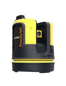
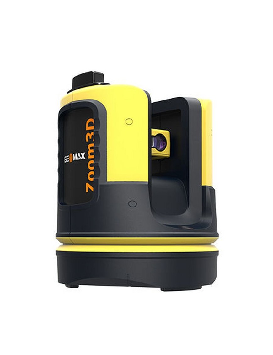
Upgrade to an innovative and user-friendly robotic total station. Simply position it and turn it on. The Zoom3D will measure and layout any project site.
Upgrade to an innovative and user-friendly robotic total station. Simply position it and turn it on. The Zoom3D will measure and layout any project site. With simple configuration and equipped with an auto levelling feature, the Zoom3D is a plugand-play solution that speeds up your daily tasks. The Zoom3D is the ideal partner for all daily tasks in any small construction site, from as-built survey to the stakeout.
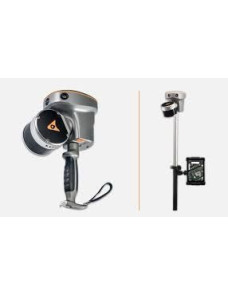
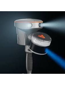
Its user-fiendly onboard software helps with a wide range of indoor applications, such as measuring, setting out or plumbing points. For your outdoor tasks, the micro robotic solution is equipped with target recognition technology that automatically and easily centres and follows the target, allowing surveys and stakeouts in small construction sites.
With simple configuration and equipped with an auto levelling feature, the Zoom3D is a plugand-play solution that speeds up your daily tasks. The Zoom3D is the ideal partner for all daily tasks in any small construction site, from as-built survey to the stakeout.
When geometry becomes complex and surfaces are curved, Zoom3D measures horizontal, vertical and sloped sections automatically.
Position and stakeout a rectangular grid of points on a reference surface, a set of points or a generic drawing previously imported. Zoom3D will guide you automatically to all points.
Measure and draw the 3D environment in the field quickly and easily, and then export the result in DXF or ASCI format. Draw 2D and 3D elements with the best results using the X-PAD Masterplan full range of drawing tools.
For specifications, please check the details tab or download the brochure from the attachments tab.

Data sheet
Upgrade to an innovative and user-friendly robotic total station. Simply position it and turn it on. The Zoom3D will measure and layout any project site.