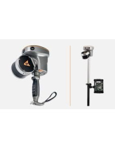

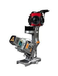


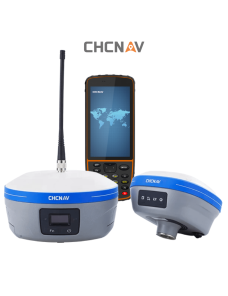
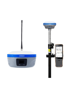
Mobile mapping is the process of collecting geo-spatial data from a mobile vehicle which is fitted with a 3d laser scanner. Mobile mapping surveys are ideal for road, highway and infrastructure projects where a vast amount of detailed data can be collected quickly over a long distance.
Survey vision mobile mapping solutions
provide you with easy-to-use vehicle-mounted data capture systems together with a complete field-to-finish workflow that will get your project done in record time. Image capture and high density point clouds are integrated by our experts to provide best in class data and deliverables that will enable you to take control of your mobile mapping future.
To achieve the highest accuracy levels, ground control points are installed at regular intervals within the survey area. The co-ordinates of these points enhance the accuracy of the point cloud during processing.
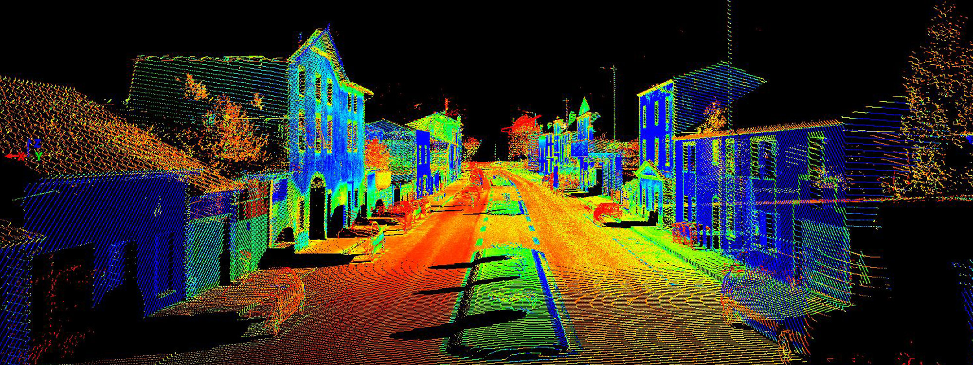
Post survey, all data including laser information and imagery, will be pre-processed to generate the most accurate trajectory possible, and enable the creation of the point cloud tied into the gcps. The point cloud will then be cleaned and colourised.
The applications we cover:
- survey
- gis
- urban planning
- data collection
- asset management
- dtm and volume calc
- Panoramic imagery
- documentation
- traffic study
- consultant studies
- roads
- investment
Quality management process
Quality assurance during the mobile mapping survey
- during mms work it show the rms and gps sat.
- During mms work , the check the completeness is available
- after finishing mms work check the completeness by play back the data using mmf
- after finishing mms work check the images using lady bug software
Quality assurance during mobile mapping process
- just you import the run to mmo and jump to it you see the full run
- after process you can see the accuracy range
- after process you can kml file showing the surveyed area
Quality assurance during capturing
- in orbit software you show the trajectory accuracy
- in orbit software you can add base map
- in orbit software you satellite image
- sample
Our Main Clients
- MOMRA & MUNICIPALITIES
- ARAMCO
- SECCO
- MOT
- Authority for Tourism and National Heritage
- RAILWAYS
- BIG COMPANIES
- Red Sea Company
- Neom